Tech giant Google is catering to the increasing number of electric vehicle (EV) owners globally by enhancing its Maps service to make travel easier.
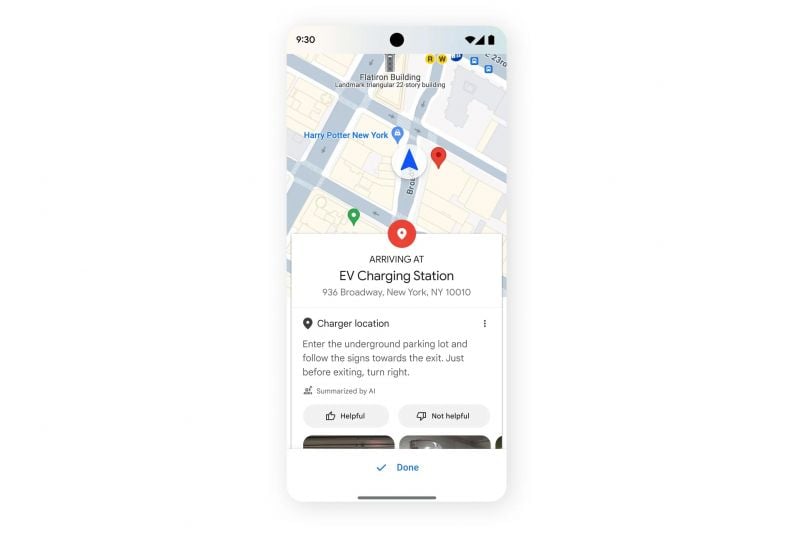
In the coming weeks, Google Maps will provide even greater detail on the locations of EV chargers, especially those in multi-storey car parks by showing which level the chargers are located.
This information is collated from user reviews with the assistance of AI, and can include descriptions of how to access the chargers if they’re in a spot that’s not immediately obvious, as well as expected charging times based on the previous experience of other EV owners.
While this feature will be available for users of both Apple CarPlay and Android Auto which rely on Google Maps for navigation, it’ll also roll out across vehicles with Google built-in.
At present, the only EVs on sale in Australia with Google built-in include the Renault Megane E-Tech Electric, the Polestar 2, and the Volvo C40 and XC40 Recharge.
These cars will also be the first to benefit from a Google Maps update which shows nearby chargers on the in-car app, including the speed of the charger and how many plugs are available.
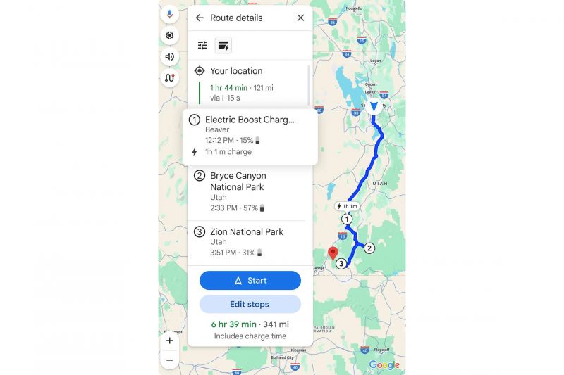
Google is also enhancing the road trip capabilities of Maps, with the application soon capable of suggesting the best charging locations on multi-stop trips based on the EV’s charge level. This will be exclusive to EVs with Google Built-in as it relies heavily on the car’s battery data.
Earlier this year, Google announced Maps would display an estimate of how much battery charge should remain at the end of a trip in certain EVs and the approximate charge time to be expected when topping up.
MORE: Electric car owners to benefit from new Google Maps update

